Trekking in Palinuro?
Get on the right trail.
Practical guide for enthusiast trekking.
Whether you are a seasoned adventurer or just an enthusiast, this guide will put you on the right trail by giving you what you need to satisfy your trekking cravings in Palinuro.
From our holiday homes in Palinuro, Centola, you can take exciting trail and routes that will lead you to discover the breathtaking nature of the Cilento, Vallo di Diano and Alburni National Park.
Below we will try to answer the 3 most frequently asked questions about trekking in Palinuro that our guests ask us before venturing onto uncontaminated routs.
1. What should those who want to go trekking in Palinuro know about the territory of Centola?
Palinuro is the largest hamlet of the municipality of Centola (SA), which also includes the hamlets of Foria, San Nicola, and San Severino. The entire area covers 47.2 km² within the Cilento and Vallo di Diano National Park; Capo Palinuro is 5.5 km away. Centola is classified as seismic zone 3 (low seismicity), according to Ordinance PCM 3274 of 20/03/2003, and features a Mediterranean climate. It is a coastal municipality that is entirely mountainous, with a coastal hill altimetric zone, located 336 meters above sea level. The geographical coordinates are 40° 4′ 3” North, 15° 18′ 46” East. Hikers will appreciate the complex geology and geomorphology of the area, which foster a unique biodiversity with numerous botanical and animal species typical of the region, such as the famous Primula of Palinuro and the Aleppo pine forests, symbols of the coastal landscape. For detailed information, you can consult the official website of the Cilento, Vallo di Diano and Alburni National Park Authority.2. What should you pay attention to in order to practice trekking in Palinuro safely?
Practicing trekking safely is essential. Even in Palinuro, it is important to follow five basic rules:- Plan your hike by evaluating the type of activity, route, physical condition, presence of support points, escape routes, and whether you are alone or in a group.
- Check weather conditions before setting out and, if possible, monitor them during the hike.
- Inform someone about your departure time, expected return time, and chosen route.
- Pay attention to trail risks, such as falling rocks, unstable terrain, weather changes, poisonous vegetation, dangerous animals, as well as personal factors (fear, stress, health conditions, fitness level).
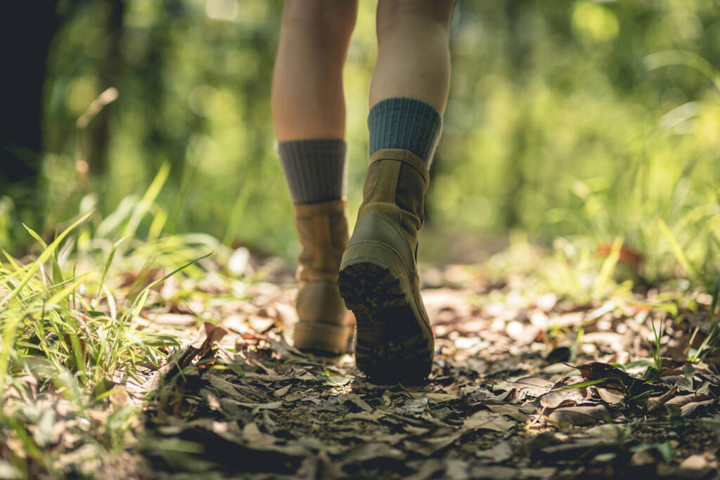
- Have the right equipment: backpack, water, food, first aid kit, trekking boots, sunglasses, and appropriate clothing.
3. What are the best trails for trekking in Palinuro?
There is no objective classification of the “best” routes, as the choice always depends on difficulty level and personal goals. One thing, however, is certain: whichever trail you choose, you will be captivated by the beauty of the area. A useful tool for planning your hike is: Explore with Komoot – Must-see routes near you. Among the best hikes and trekking routes in Palinuro, you will find:- Capo Palinuro – circular route in the Cilento National Park
- Fortino di Capo Palinuro – Punta Iacco Cliffs, circular route starting from Palinuro
- Statue of Palinuro – Fortino di Monte d’Oro, circular route starting from Trivento
- Natural Arch of Palinuro – circular route starting from Trivento
How to preserve the environment while trekking in Palinuro?
To help preserve nature, it is enough to adopt a few simple but essential behaviors:- Do not litter: take everything you bring with you back home.
- Do not light fires: campfires are extremely dangerous, especially in high-risk areas.
- Do not disturb animals: walk respectfully, avoid noise and intrusive behavior.
- Do not pick plants or flowers: leave everything as it is and take photographs as memories.